
Australia: laser drones tested to map the beaches of amphibious landings
The Australian Defense Force (ADF) has been piloting a drone-based laser sensor to map beaches and the seabed for amphibious landing preparations.
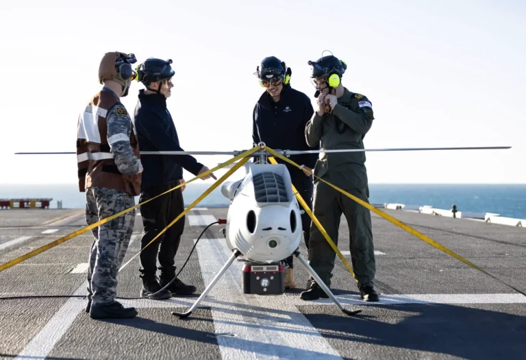
Conducted during exercise Sea Raider 2023, the Australian Amphibious Force deployed an S100 unmanned aerial system equipped with bathymetric light detection and a LiDAR sensor, i.e. a sort of RADAR, but based on laser detection.
Deployed from the helicopter dock vessel HMAS Adelaide, LiDAR projected green wavelength laser beams across the sea surface to gather geospatial data of the shoreline and terrain.
The preparation for the landing of troops is very important in the Pacific area, where a possible war against other regional powers would start with landings in island complexes. Knowing the depths and also any traps set by the enemy is essential for the success of these operations.
The test also evaluated the effectiveness of the technique when flying the drone at different altitudes.
The S-100 can fly up to 200 kilometers on day or night missions in most weather conditions. It can be integrated with a ship's system to assist in intelligence and air traffic control missions.
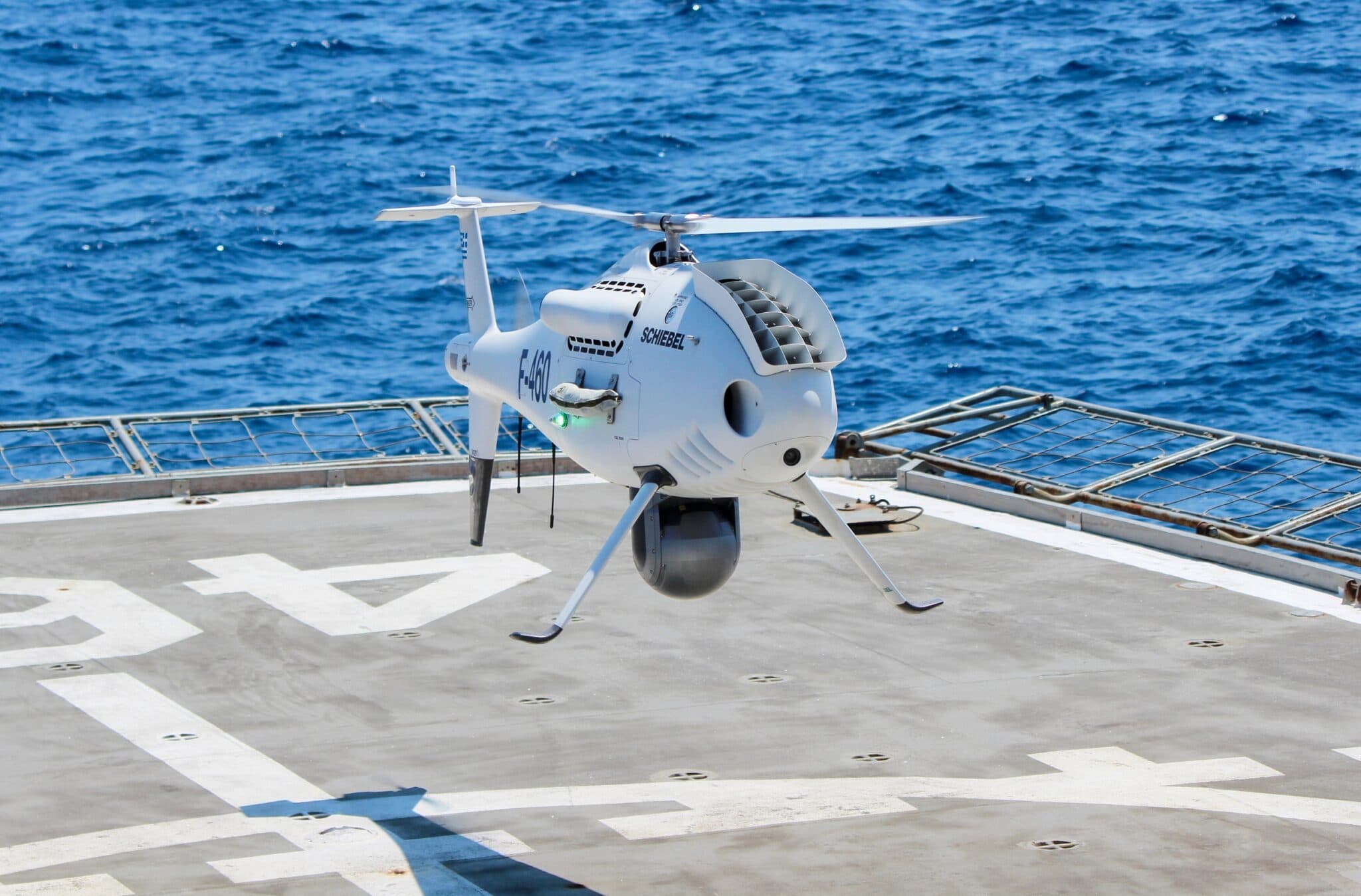
S 100 camcopter
“We generate survey plans for the landing areas, then create flight profiles and 3D gradients, electronically or on paper, which are used as a briefing tool on shallow water bathymetry, beach, back of beach topography” , said Australian Amphibious Force Lt. Cmdr. explained Thomas Lennards.
“Surveys are used to navigate hazards, beach entry and exit points, helicopter landing zones, bridges, backcountry, and terrain.”
“We have chart overlays and satellite imagery used to make sure the information is up to date with our collection and compare anomalies with what is scanned versus what is tracked.”
Science on the battlefield
On HMAS Adelaide, experts from the Australian Defense Science and Technology Group (DST) have also been testing handheld 3D laser scanners for other tactical applications, such as battlefield damage assessment.
DST geography scientist Dr. Alexander Lee emphasized the importance of science service trials similar to sensor demonstrations.
“We participate in major exercises to understand how scientific research results can be accelerated through the transition to operational use. This seeks to make war fighters more effective for their missions,” he said.
“It's about talking to people, day or night, to better understand how science can be used to solve problems or identify new opportunities to improve ADF effectiveness.”
![]()
Thanks to our Telegram channel you can stay updated on the publication of new articles from Economic Scenarios.
The article Australia: laser drones tested to map the beaches of amphibious landings comes from Economic Scenarios .
This is a machine translation of a post published on Scenari Economici at the URL https://scenarieconomici.it/australlia-lidar-droni/ on Tue, 22 Aug 2023 07:00:13 +0000.